Note: This document is for an older version of GRASS GIS that will be discontinued soon. You should upgrade, and read the current manual page.
NAME
d.rast - Displays user-specified raster map in the active graphics frame.KEYWORDS
display, graphics, rasterSYNOPSIS
d.rast
d.rast --helpd.rast [-ni] map=name [values=value[-value][,value[-value],...]] [bgcolor=color] [--help] [--verbose] [--quiet] [--ui]
Flags:
- -n
- Make null cells opaque
- -i
- Invert value list
- --help
- Print usage summary
- --verbose
- Verbose module output
- --quiet
- Quiet module output
- --ui
- Force launching GUI dialog
Parameters:
- map=name [required]
- Name of raster map to be displayed
- values=value[-value][,value[-value],...]
- List of categories or values to be displayed
- bgcolor=color
- Background color (for null)
- Either a standard color name or R:G:B triplet
- Default: white
Table of contents
DESCRIPTION
d.rast displays the specified raster map in the active display frame on the graphics monitor.EXAMPLE
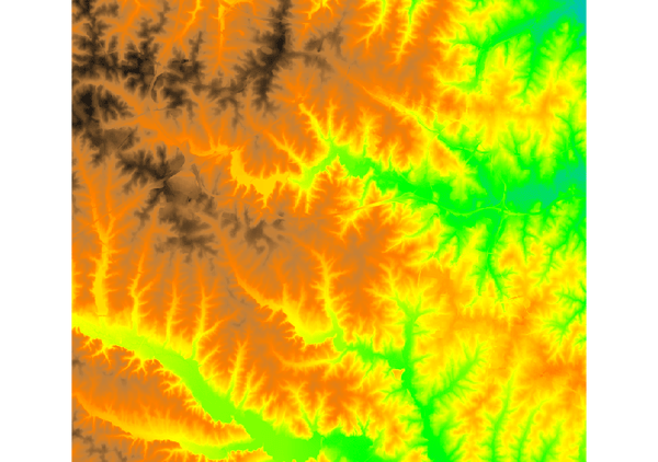
Display raster map "elevation":d.rast map=elevation

Figure: elevation raster map visualization
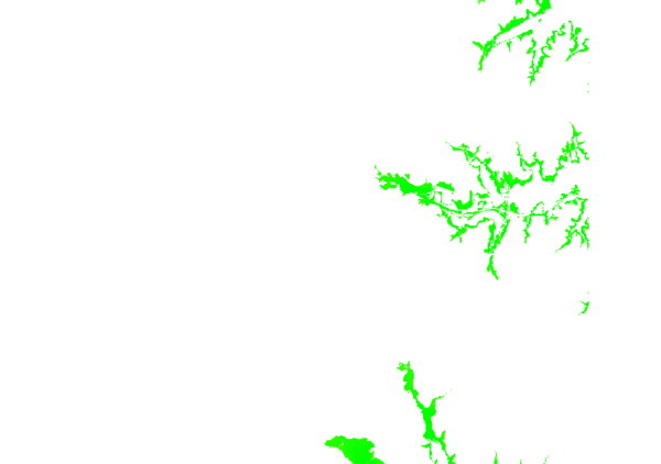
d.rast map=elevation values=75-80

Figure: elevation raster map showing values between 75 and 80 meters
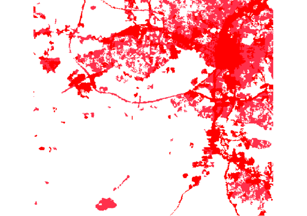
d.rast landuse96_28m values=1,2

Figure: landuse raster map showing categories 1 and 2
SEE ALSO
d.rast.arrow, d.rast.num, d.rast.leg, d.legend, d.mon, d.erase, d.vectAUTHOR
James Westervelt, U.S. Army Construction Engineering Research LaboratorySOURCE CODE
Available at: d.rast source code (history)
Latest change: Thursday Feb 03 11:10:06 2022 in commit: 547ff44e6aecfb4c9cbf6a4717fc14e521bec0be
Note: This document is for an older version of GRASS GIS that will be discontinued soon. You should upgrade, and read the current manual page.
Main index | Display index | Topics index | Keywords index | Graphical index | Full index
© 2003-2023 GRASS Development Team, GRASS GIS 8.2.2dev Reference Manual