Manual gallery

d.background

d.correlate (plot)
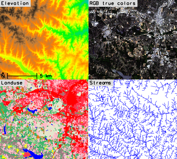
d.frame
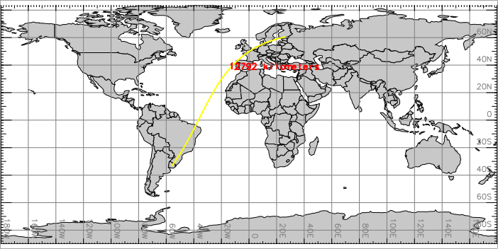
d.geodesic
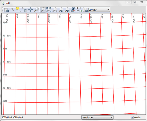
d.grid (re)

d.grid (blue grid)
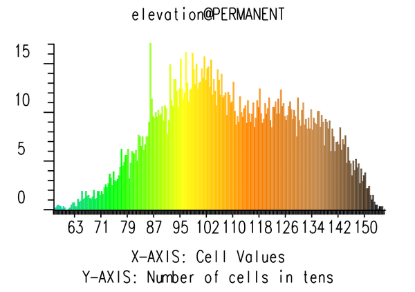
d.histogram (bar)
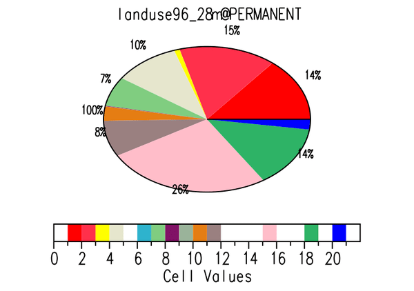
d.histogram (pie)
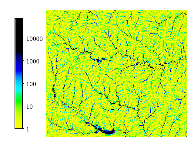
d.legend (logarithmic)

d.legend (custom labels and background)
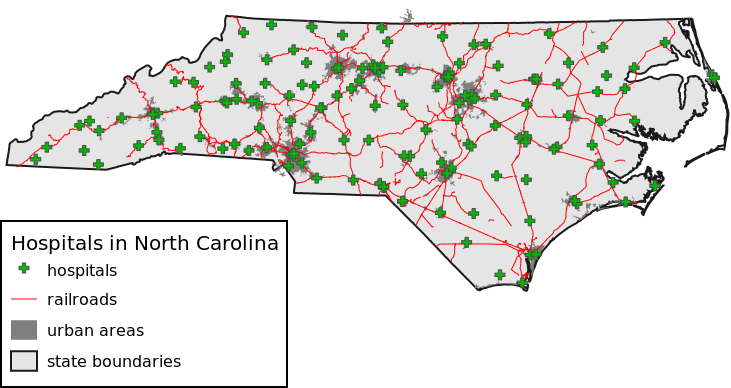
d.legend.vect

d.mon (wx0)

d.mon (wx0 raster)

d.polar (aspect)
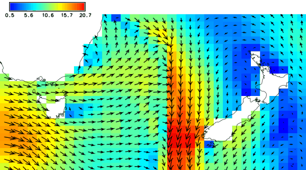
d.rast.arrow (wind)

d.rast.edit

d.rast (elevation)

d.rast (landuse)

d.rast (elevation values)

d.rast.num (zoom)
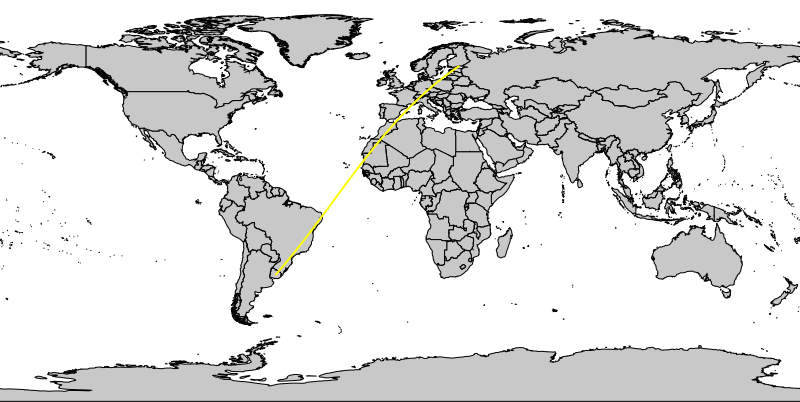
d.rhumbline
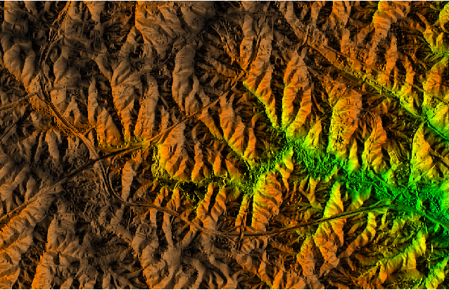
d.shade

d.text
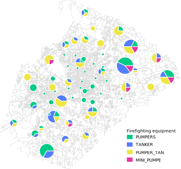
d.vect.chart (legend)

d.vect.chart (pie 2d)

d.vect.chart (pie 3d)

d.vect.thematic

grass_database
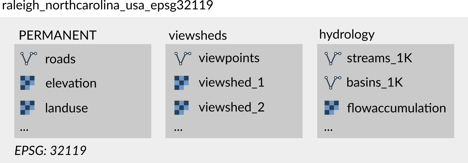
grass_projects (project)
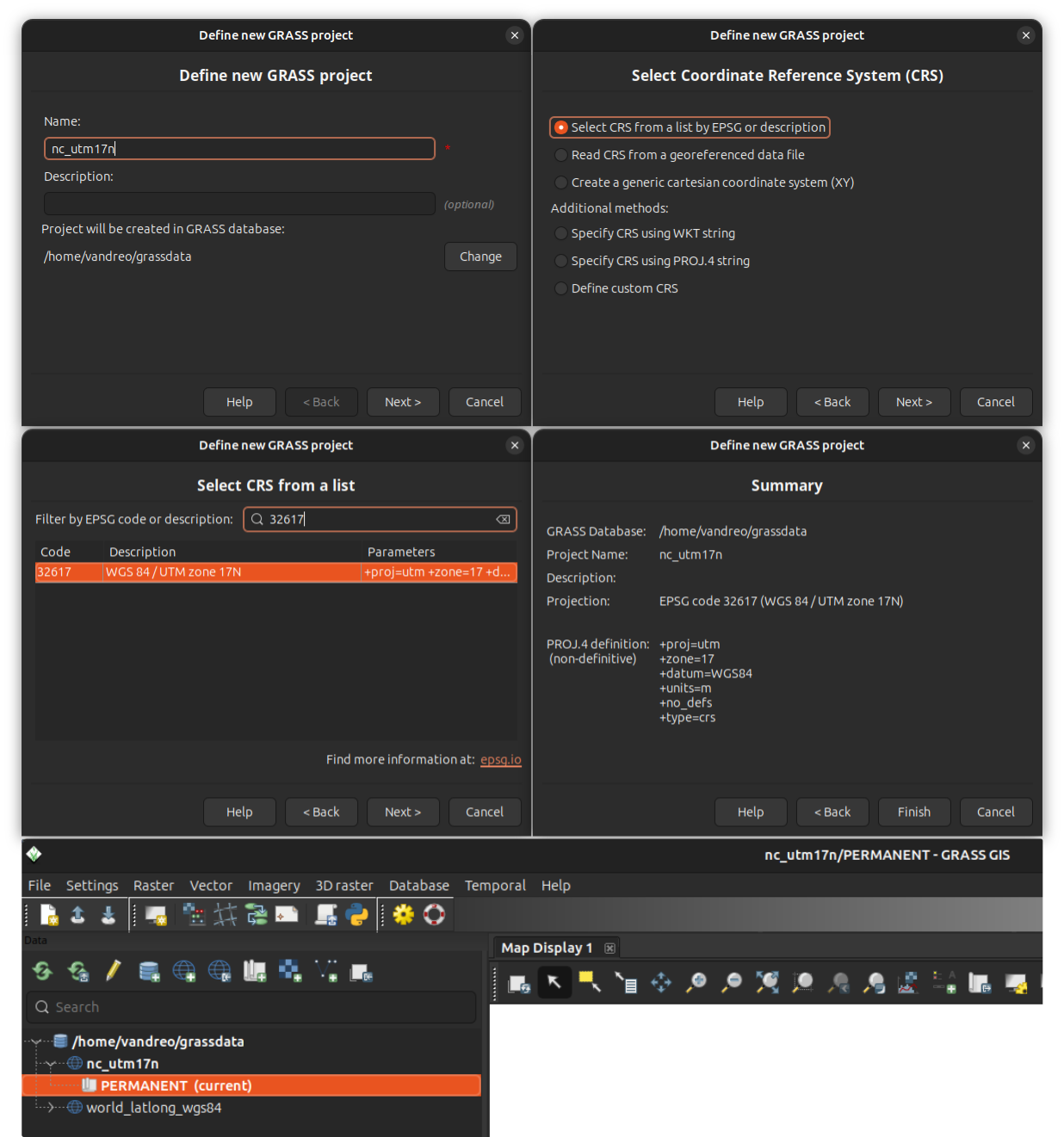
grass_projects (create new project gui)

i.albedo (landsat7)

i.albedo (landsat5)
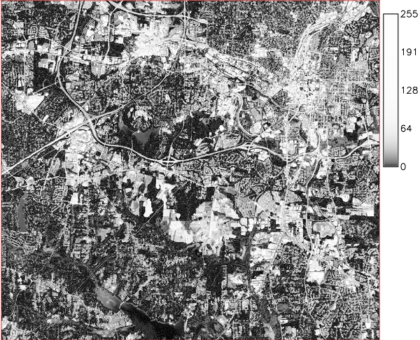
i.atcorr (B02 atcorr)

i.cluster (landsat clustering)

i.evapo.time
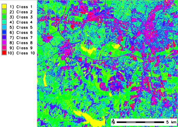
i.maxlik (classes)

i.maxlik (rejection)

i.maxlik (rgb)
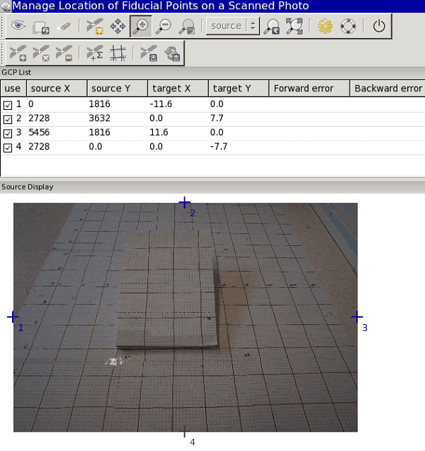
i.ortho.photo (step5)

i.ortho.photo (step1)
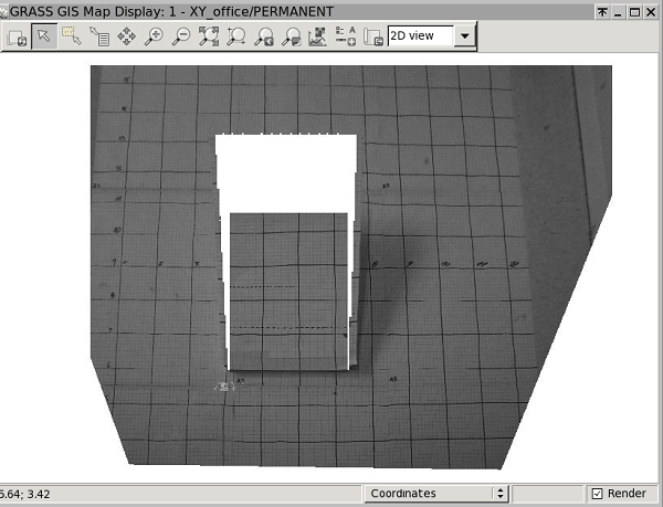
i.ortho.photo (step8)
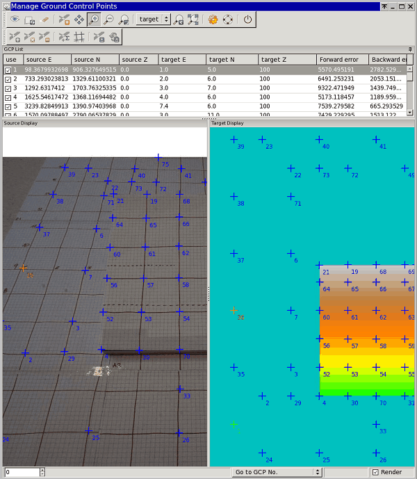
i.ortho.photo (step7)

i.pansharpen (rgb pca542)

i.pansharpen (rgb landsat542)

i.pansharpen (rgb brovey542)

i.pansharpen (rgb ihs542)

i.pca (result)

i.segment (ortho segs l2 l5)

i.segment (ortho segs final)

i.spectral

i.topo.corr (angles)

i.vi (gari)

i.vi (ndvi)

i.vi (arvi)

imageryintro (band references scheme)

interfaces_overview (grass start)
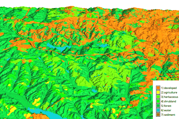
jupyter_intro (jupyter 3d map)

jupyter_intro (jupyter series map)

jupyter_intro (jupyter timeseries map)

m.measure (distance)
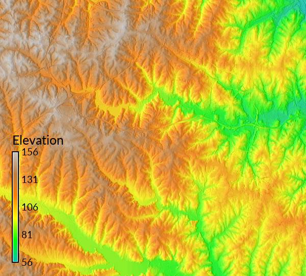
r.blend

r.buffer (road)

r.clump (lakes)

r.clump (lsat)

r.colors.stddev

r.cost (knightsmove)

r.drain (with r watershed direction)

r.drain

r.fill.stats (lidar)

r.fill.stats (smoothing)

r.geomorphon (legend)

r.geomorphon (peaks)

r.geomorphon

r.geomorphon (geomorphon)

r.grow.distance (sea)

r.grow.distance (zoom)

r.grow.distance

r.gwflow (concept)
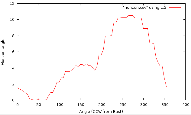
r.horizon (singlepoint plot)
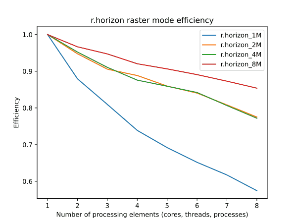
r.horizon (raster efficiency)
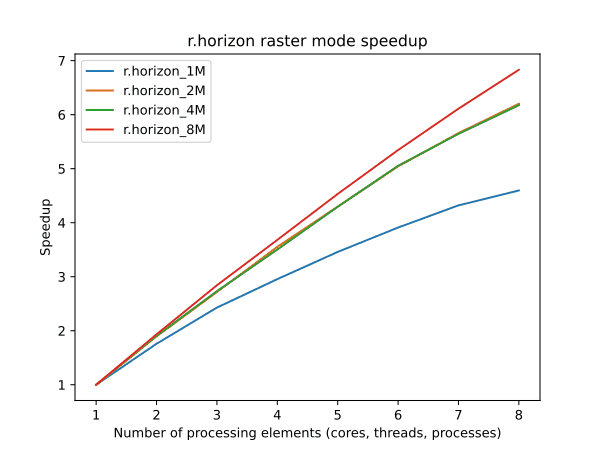
r.horizon (raster speedup)
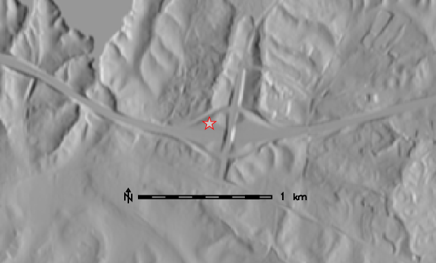
r.horizon (shaded dem point)
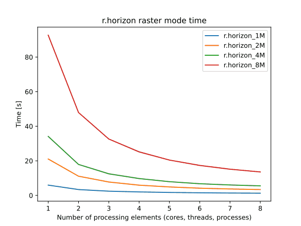
r.horizon (raster time)
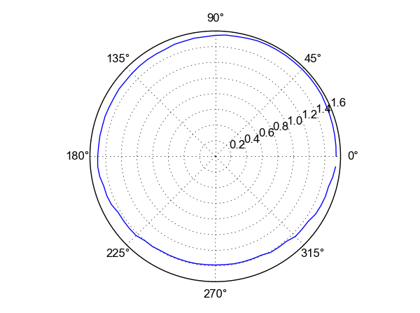
r.horizon (polar plot)
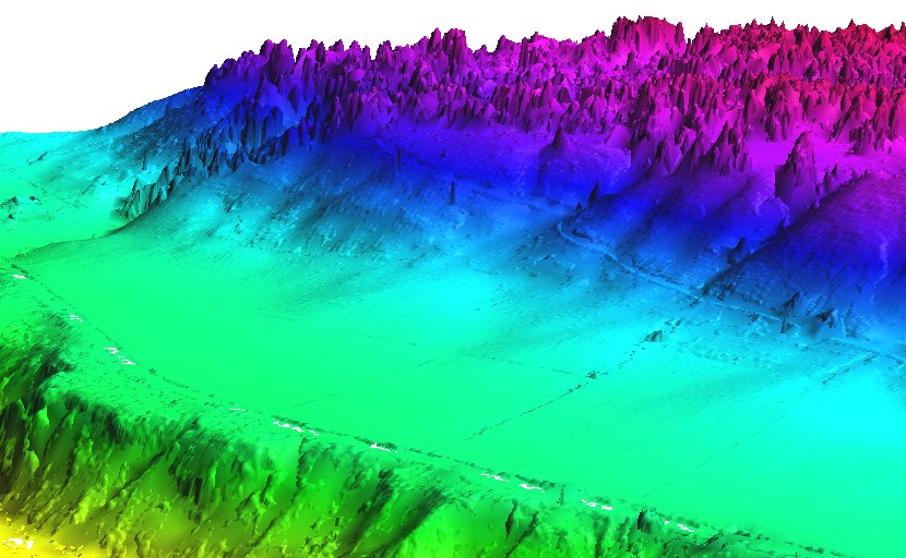
r.in.pdal (r in lidar dem mean3D)

r.in.wms (sentinel2)

r.lake (lidar dem)
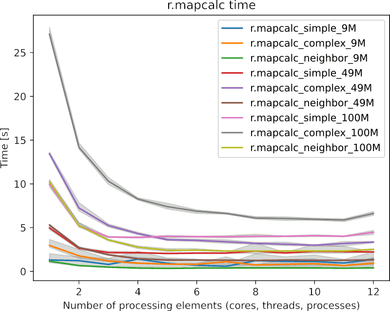
r.mapcalc (benchmark time)

r.mfilter (benchmark 2)

r.mfilter (benchmark 1)

r.mfilter
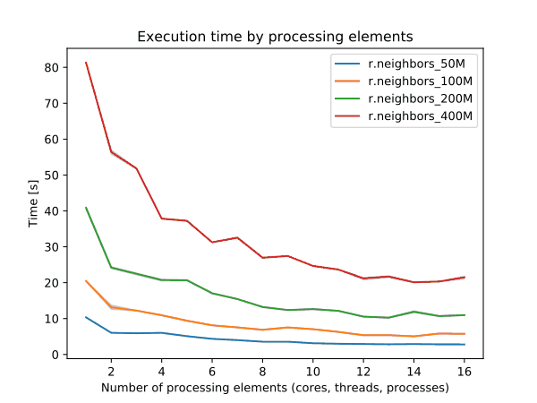
r.neighbors (benchmark nprocs)
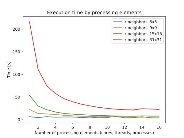
r.neighbors (benchmark size)
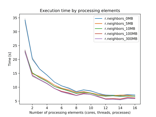
r.neighbors (benchmark memory)

r.param.scale (morph)

r.patch

r.patch (zeros as nulls)

r.patch (benchmark memory)
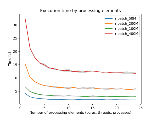
r.patch (benchmark size)
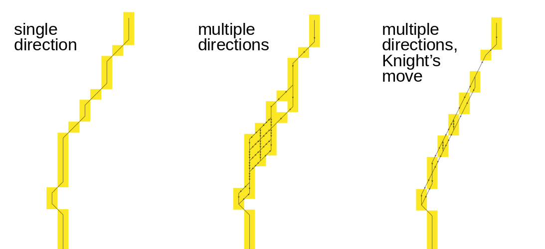
r.path (with bitmask)
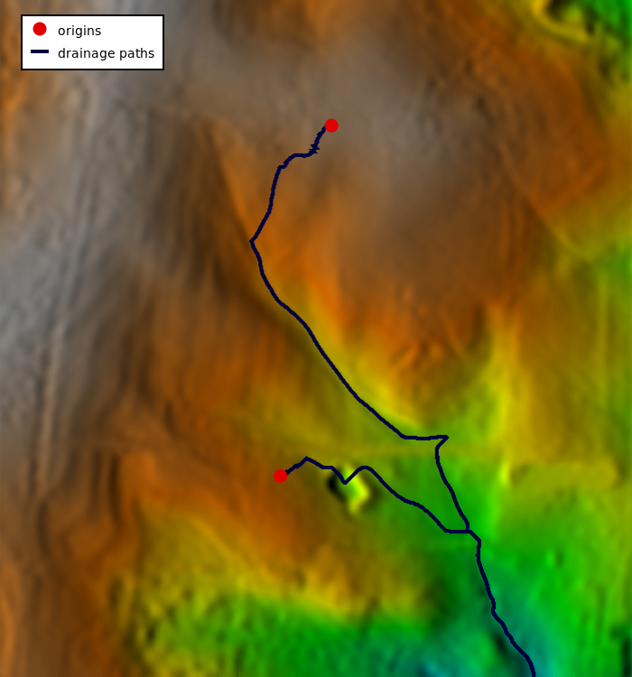
r.path (with r watershed direction)
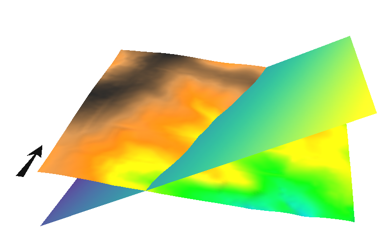
r.plane (3d)
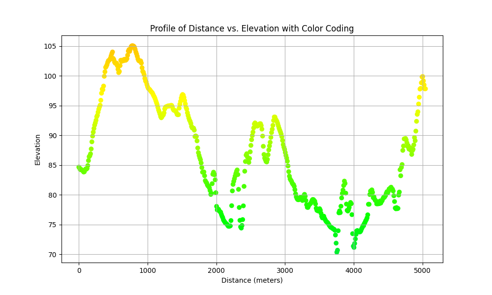
r.profile (plot)
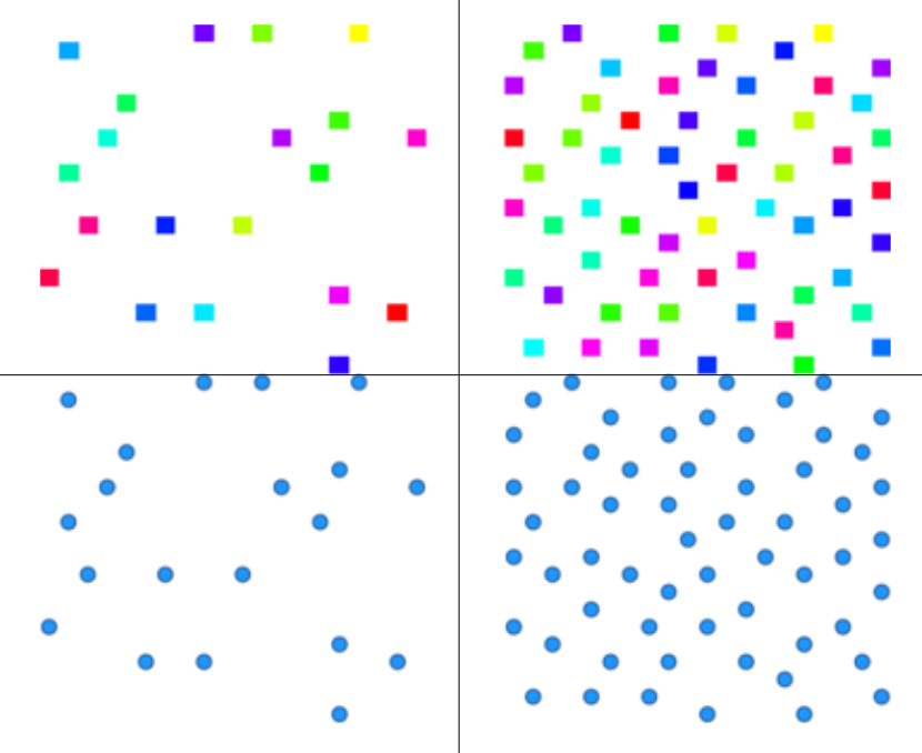
r.random.cells
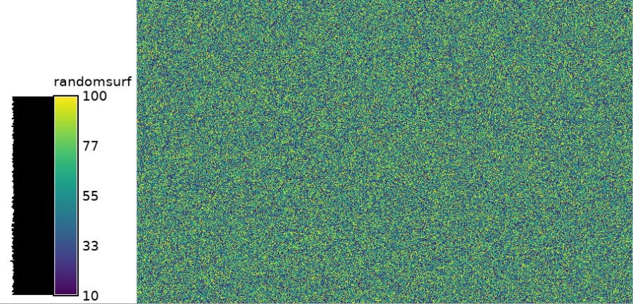
r.random.surface

r.random.surface (hist)
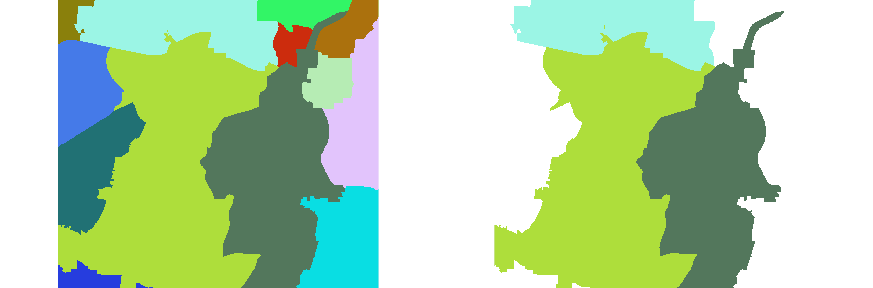
r.reclass.area (zipcodes larger2000ha)

r.reclass.area (zipcodes minor1000ha)
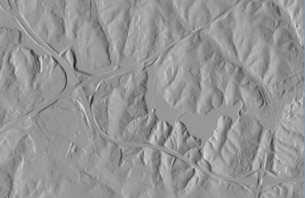
r.relief

r.resamp.filter (benchmark size)
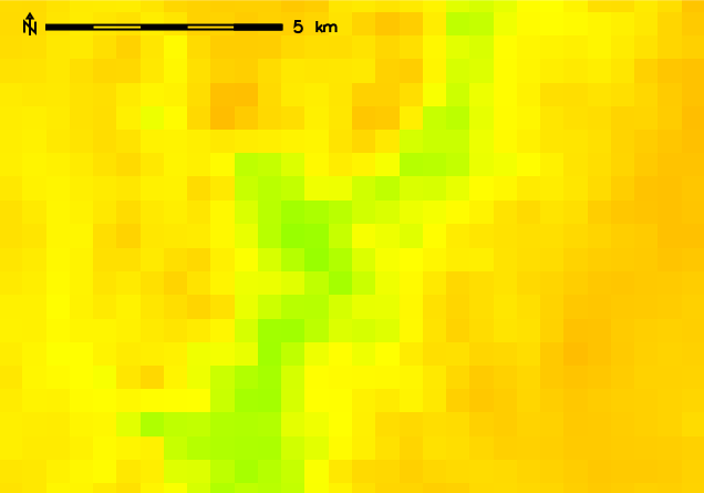
r.resamp.interp (orig 500m)
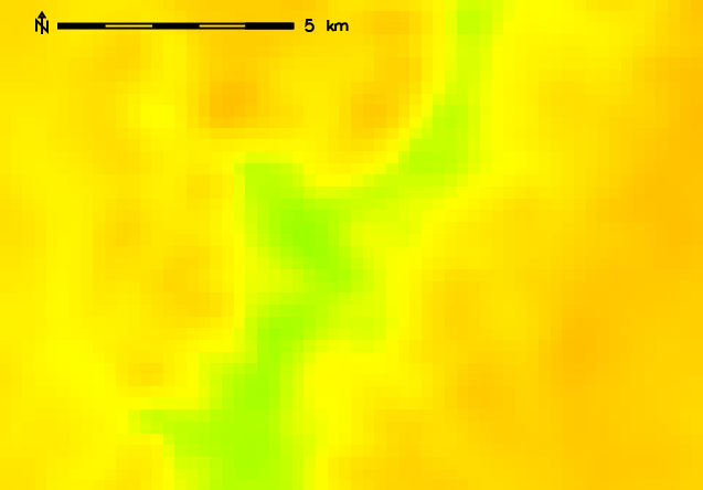
r.resamp.interp (new 250m)
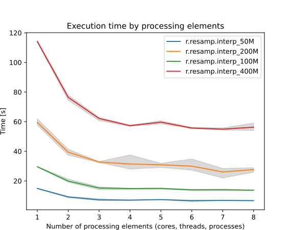
r.resamp.interp (benchmark size)
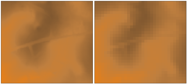
r.resamp.stats (6m 20m)

r.rgb (elevation)
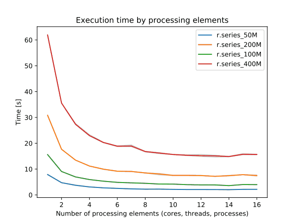
r.series (benchmark size)

r.series
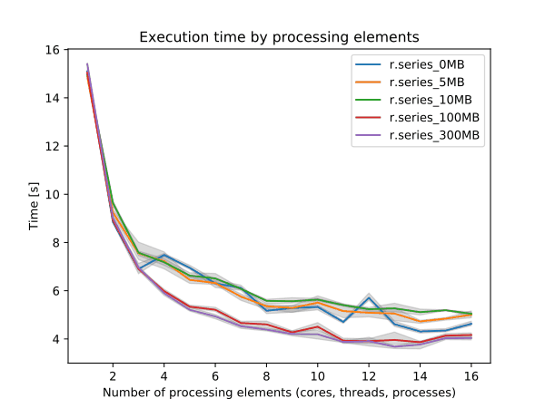
r.series (benchmark memory)

r.shade
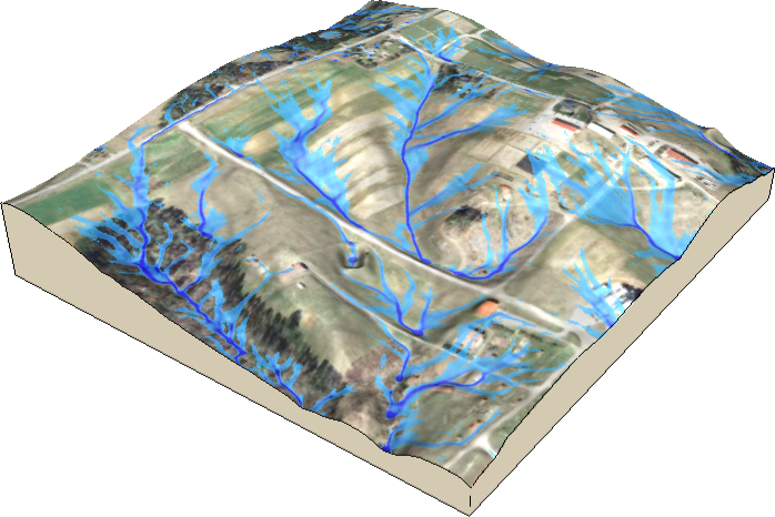
r.sim.water
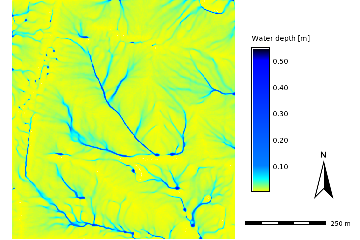
r.sim.water (water depth)
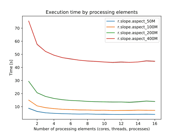
r.slope.aspect (benchmark size)
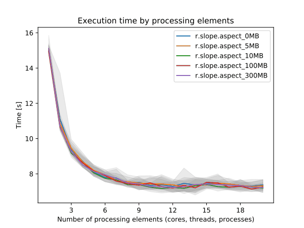
r.slope.aspect (benchmark memory)
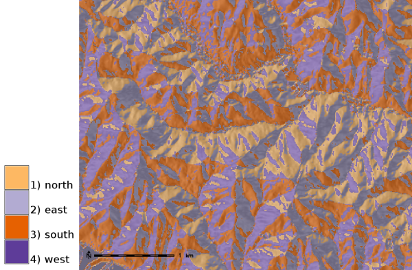
r.slope.aspect (4 directions)
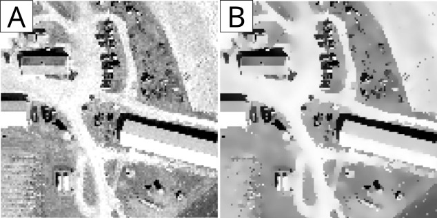
r.smooth.edgepreserve

r.stats.zonal (r stats.zonal)

r.stream.extract (accum weighted zoom)

r.stream.extract (streams weighed)

r.stream.extract (weights zoom)

r.stream.extract (streams noweight)

r.stream.extract (accum orig zoom)
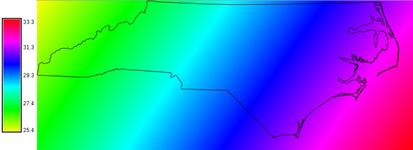
r.sunhours
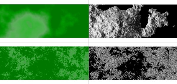
r.surf.fractal
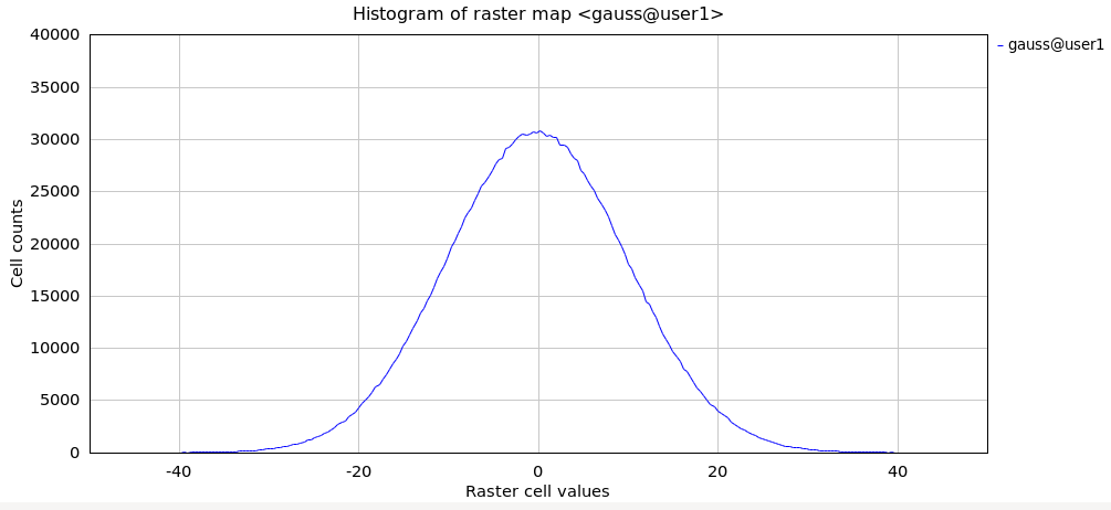
r.surf.gauss (hist)

r.surf.gauss
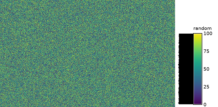
r.surf.random

r.surf.random (hist)
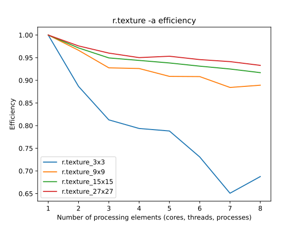
r.texture (window efficiency)

r.texture (directions example)
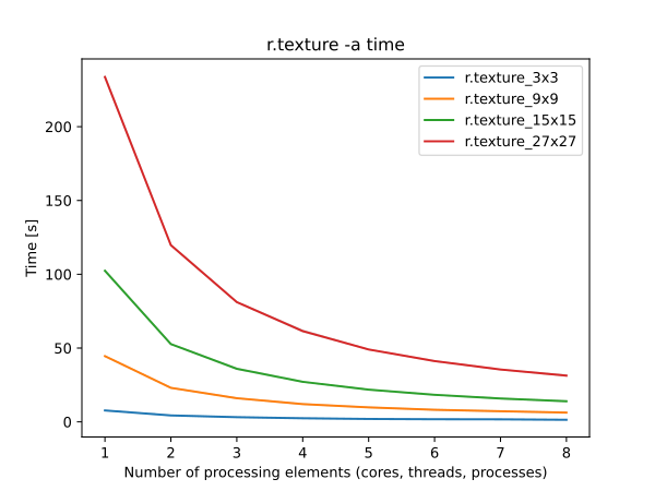
r.texture (window time)
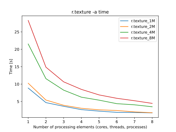
r.texture (mapsize time)
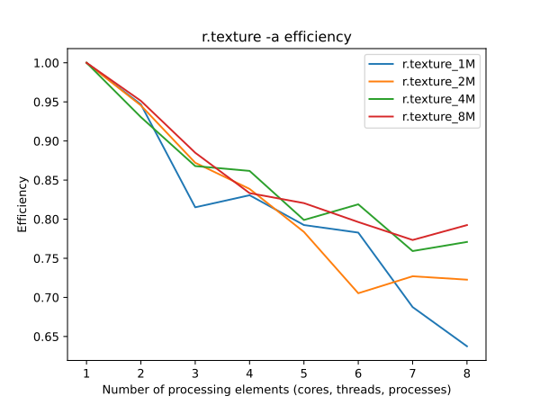
r.texture (mapsize efficiency)

r.thin (vectorized)

r.thin (network)
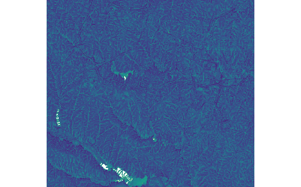
r.topidx

r.univar (basins)

r.univar (benchmark size)

r.univar (basins elev zonal)
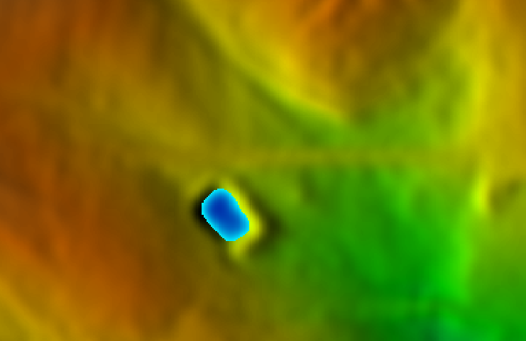
r.volume (lake)
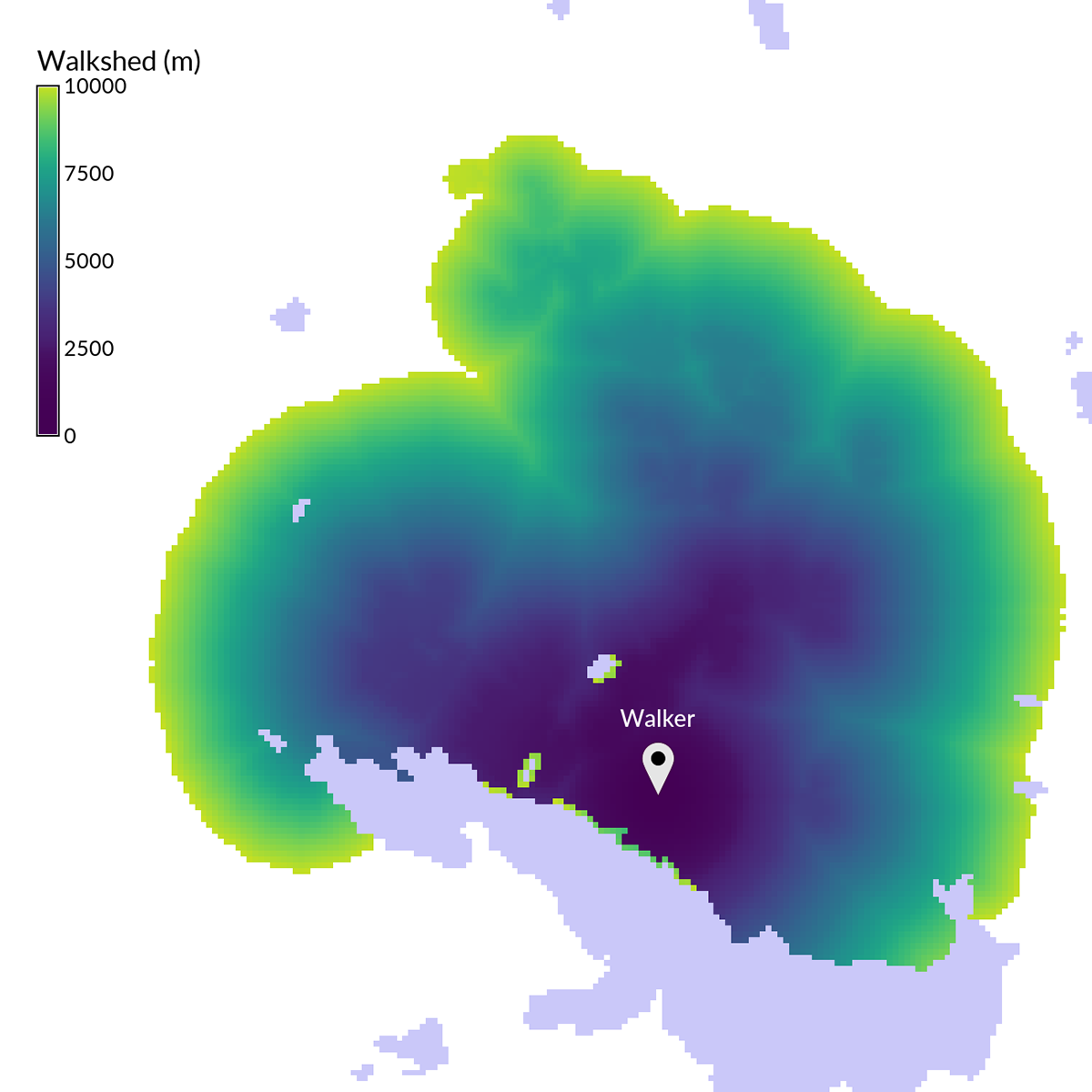
r.walk

r3.flow (flowlines color)

r3.flow (flowlines)

style_guide (r.viewshed)
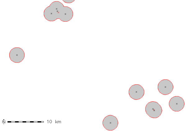
v.buffer (points)
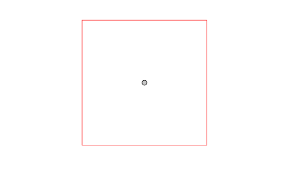
v.buffer (point s)
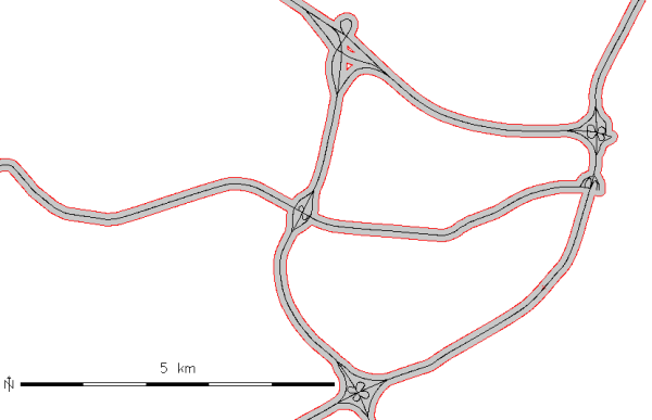
v.buffer (lines)
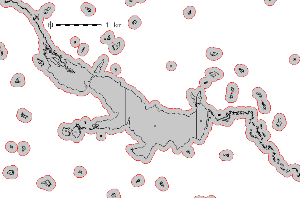
v.buffer (areas)
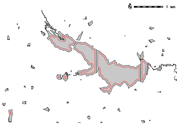
v.buffer (areas int)

v.centroids

v.clean

v.clip (poly)

v.clip (region)
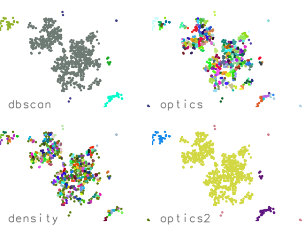
v.cluster (4 methods)

v.delaunay
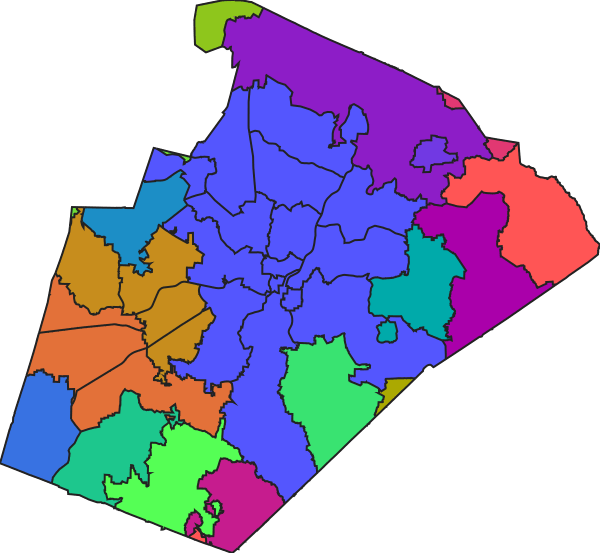
v.dissolve (zipcodes)

v.dissolve (towns)

v.fill.holes
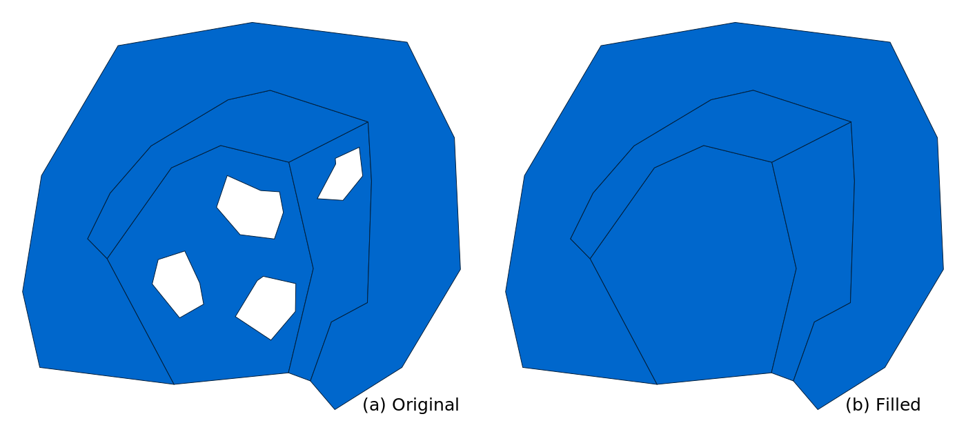
v.fill.holes (filled)
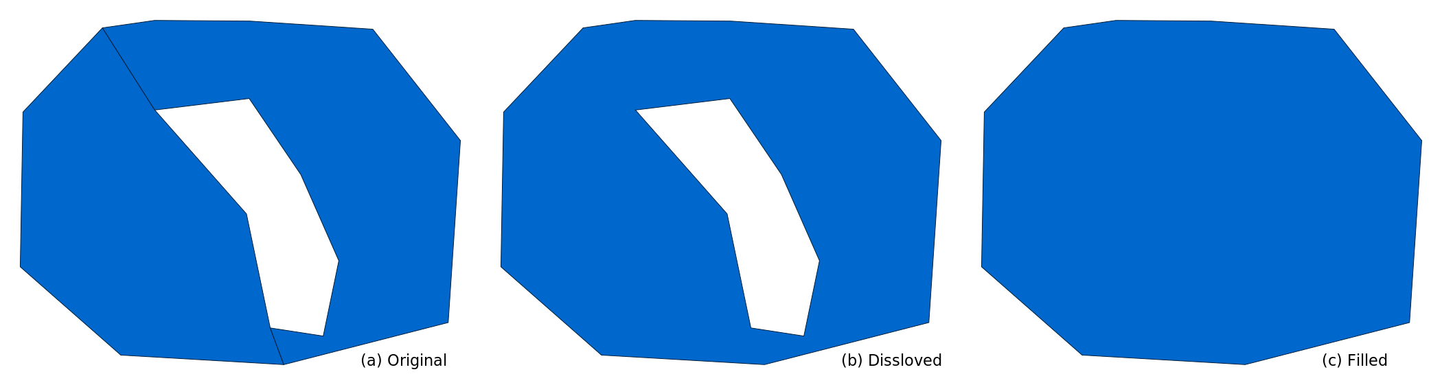
v.fill.holes (filled with dissolve)
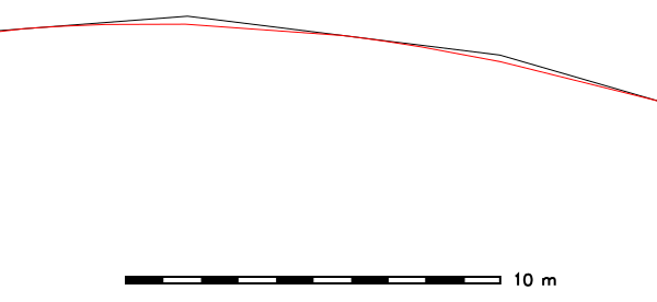
v.generalize (smooth)
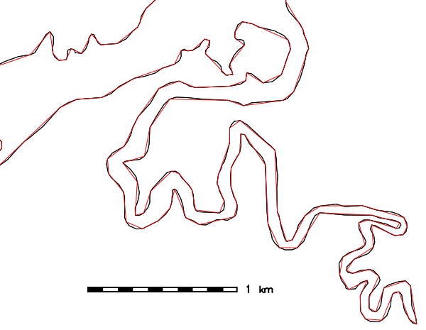
v.generalize (simplify)
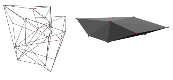
v.hull (3d)
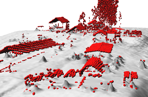
v.lidar.edgedetection (objects)
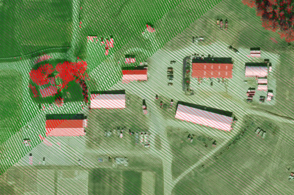
v.lidar.edgedetection

v.mkgrid

v.mkgrid (ppattern)

v.net.alloc (from centers)

v.net.alloc (time)
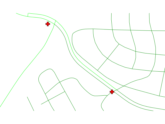
v.net.alloc (to centers)
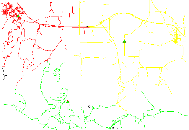
v.net.alloc

v.net.distance
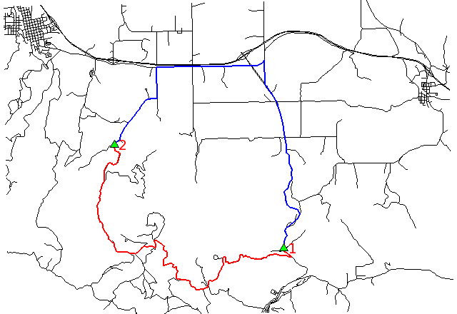
v.net.path
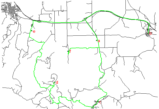
v.net.salesman (time)
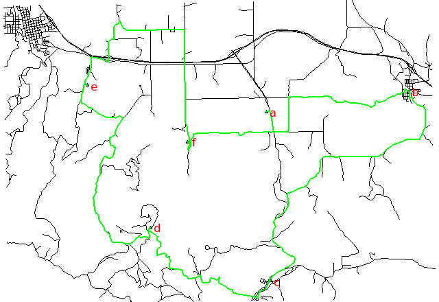
v.net.salesman
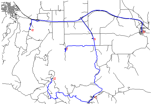
v.net.steiner (time)
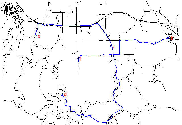
v.net.steiner
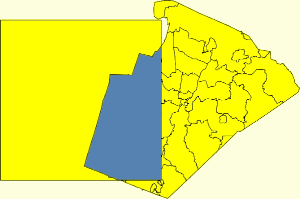
v.overlay (op xor)
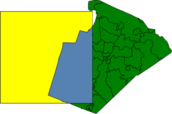
v.overlay (op not)

v.overlay (poly 1 2 a o n x)
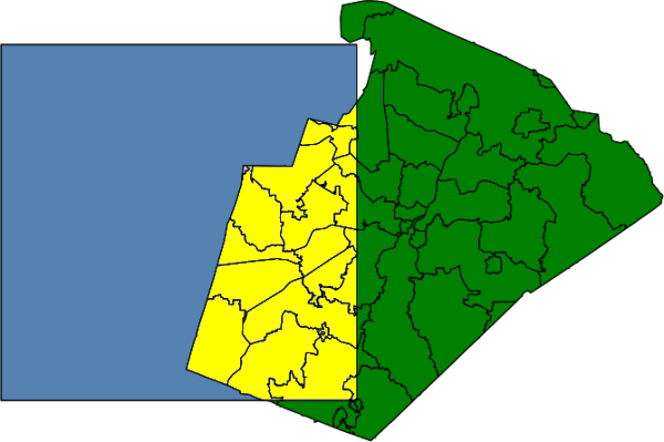
v.overlay (op and)
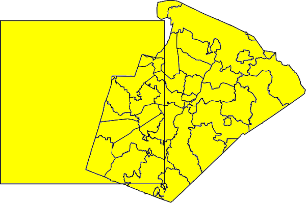
v.overlay (op or)
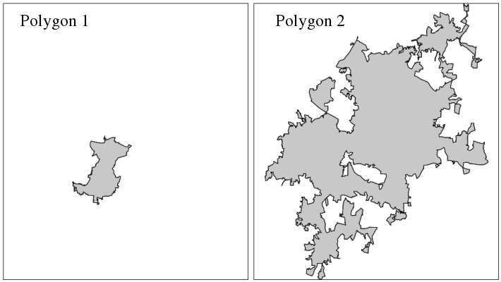
v.overlay (poly 1 2)
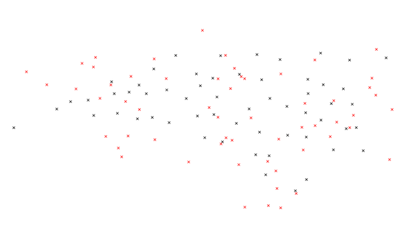
v.perturb (uniform)

v.perturb (normal)

v.random (polygons)

v.random (restricted area)

v.random (restricted attr)

v.random (points in polygon)

v.segment (spaced right points)

v.segment (spaced percent points)

v.segment (subline)

v.segment (spaced points)

v.select (op contains pol)

v.select (op intersects)

v.select (op crosses)
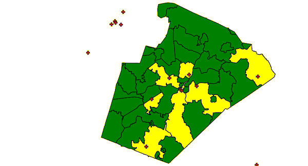
v.select (op contains pnts)
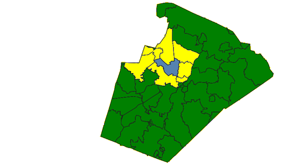
v.select (op touches)
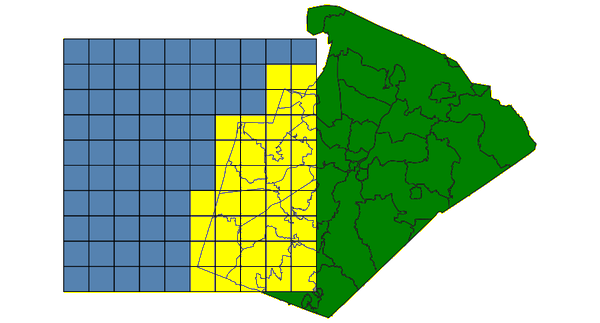
v.select (op overlap)
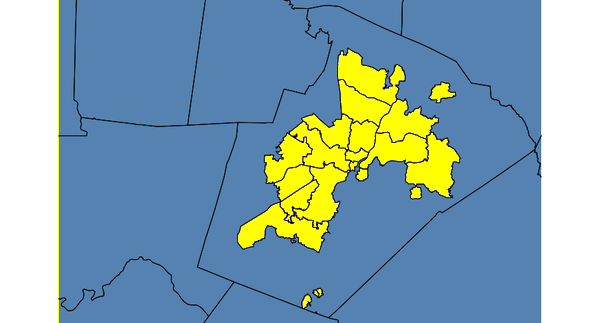
v.select (op within)
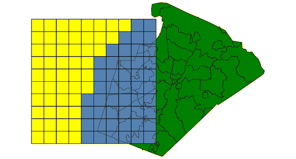
v.select (op disjoint)

v.select (op equals)

v.select (op overlaps)
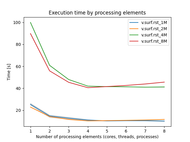
v.surf.rst (benchmark)
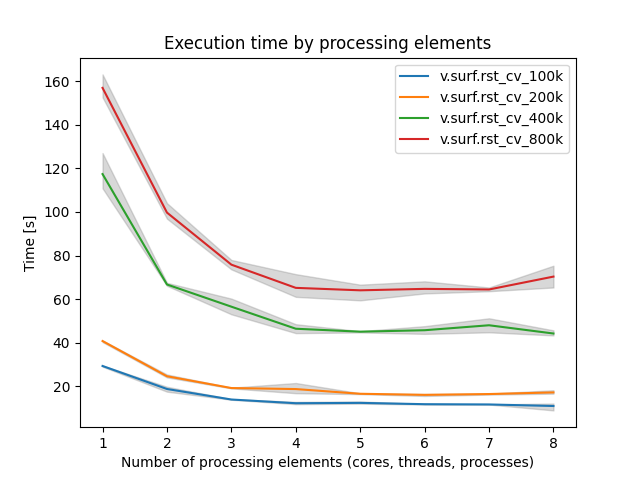
v.surf.rst (cv benchmark)
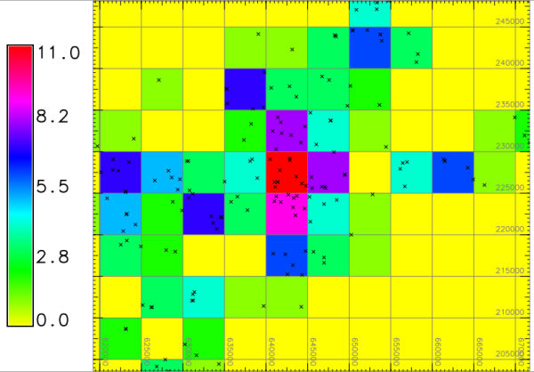
v.to.rast (binning)

v.to.rast3 (test)

v.voronoi (points)
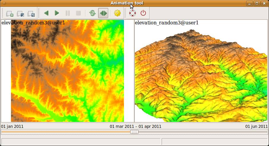
wxGUI.animation (tool)

wxGUI.datacatalog (datacatalog)

wxGUI.dbmgr (dbmgr sql builder)

wxGUI.dbmgr (dbmgr frame)

wxGUI.gmodeler (g gui gmodeler avg run)

wxGUI.gmodeler (g gui gmodeler modis 3o)

wxGUI.gmodeler (g gui gmodeler modis 2o)

wxGUI.gmodeler (g gui gmodeler model usle)
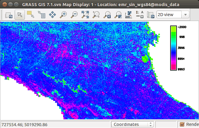
wxGUI.gmodeler (g gui gmodeler modis 1o)

wxGUI.gmodeler (g gui gmodeler items)

wxGUI.gmodeler (g gui gmodeler avg map)

wxGUI.gmodeler (g gui gmodeler modis 1)

wxGUI.gmodeler (g gui gmodeler loop final)

wxGUI.gmodeler (g gui gmodeler variables raster)

wxGUI.gmodeler (g gui gmodeler python code result)

wxGUI.gmodeler (g gui gmodeler parameter)

wxGUI.gmodeler (g gui gmodeler python)
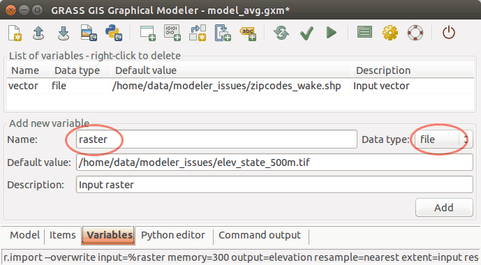
wxGUI.gmodeler (g gui gmodeler variables)

wxGUI.gmodeler (g gui gmodeler lower toolbar)

wxGUI.gmodeler (g gui gmodeler toolbar)

wxGUI.gmodeler (g gui gmodeler model avg)

wxGUI.gmodeler (g gui gmodeler pywps code)
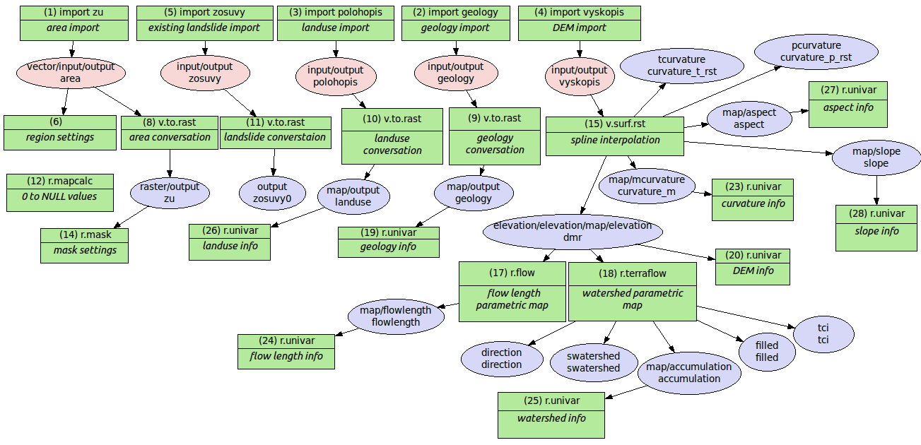
wxGUI.gmodeler (g gui gmodeler model landslides)
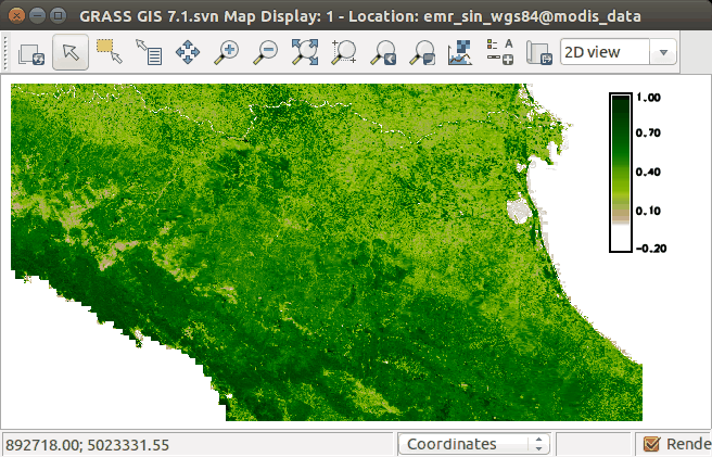
wxGUI.gmodeler (g gui gmodeler modis 3)

wxGUI.gmodeler (g gui gmodeler actinia code)

wxGUI.gmodeler (g gui gmodeler modis 2)

wxGUI.gmodeler (g gui gmodeler python code)
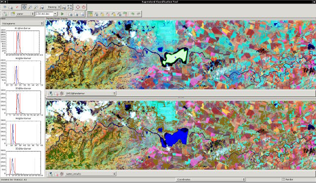
wxGUI.iclass (iclass frame)

wxGUI.iscatt

wxGUI.mapswipe (mapswipe tsunami)
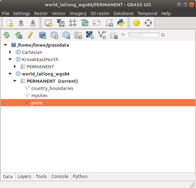
wxGUI (layer manager)
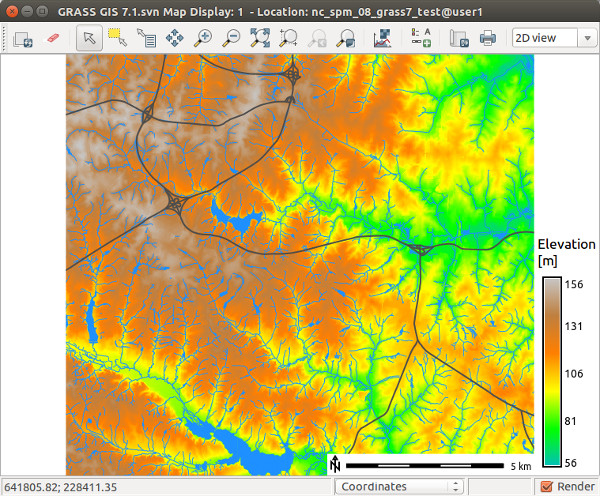
wxGUI (map display)

wxGUI.modules (style top)

wxGUI.modules (parameters)

wxGUI.modules (style left)
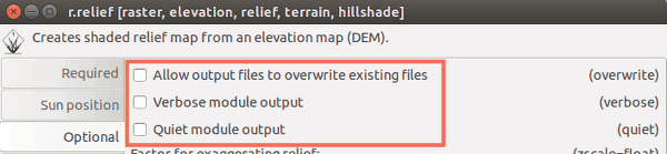
wxGUI.modules (flags)

wxGUI.photo2image (wxGUI iphoto2image frame)

wxGUI.rdigit (step5)
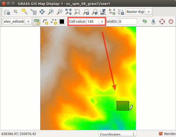
wxGUI.rdigit (step2)

wxGUI.rdigit (step4)

wxGUI.rdigit (step3)

wxGUI.rdigit (step1)
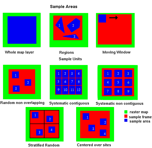
wxGUI.rlisetup (g gui rlisetup sample areas)

wxGUI.timeline (timeline 2D)

wxGUI.tplot (g gui tplot labels)

wxGUI.tplot (tplot)

wxGUI.tplot (g gui tplot export csv)

wxGUI.vdigit (vdigit toolbar)
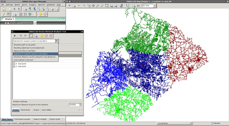
wxGUI.vnet